1 day
Amboseli Day Trip from Nairobi
Elephants, swamps and Kilimanjaro in one long day from Nairobi, about 15 hours door to door.
Gates, swamps, Observation Hill and lodge areas, laid out so you can plan your days.
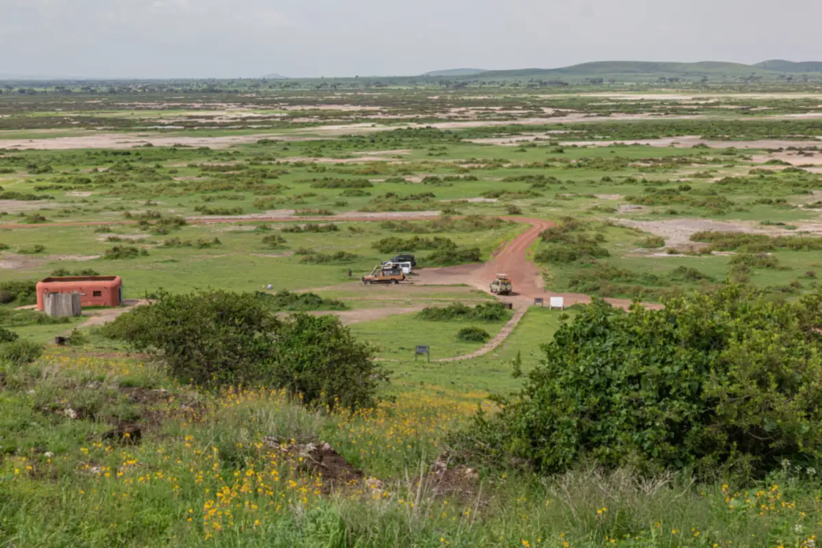
Amboseli National Park covers 392 square kilometres in Kajiado County. Three public gates lead in: Iremito from Emali, Kimana from Kimana town and Meshanani from Namanga. The central zone holds the Enkongo Narok and Longinye swamps, Ol Tukai and Observation Hill. The dry bed of Lake Amboseli fills the west.
Amboseli is compact, and that is its advantage. Almost everything you come for sits in the middle of the park, within a short drive of the next stop. The KWS management plan for 2020 to 2030 splits the park into zones. The central high-use zone holds the two big swamps, Enkongo Narok and Longinye, plus the doum palm swamp of Ol Tukai Orok, the park headquarters, the lodges and Observation Hill. The plan calls this the prime viewing zone.
The low-use zone covers the west, the north and the east. The west is the Kitirua area and the seasonal Lake Amboseli. Few visitors go there, and it has very few viewing roads and no tourist lodges inside the park. Beyond the boundary the land belongs to Maasai communities, and many animals spend much of the year on it. A big herd you see at the swamps at noon may have walked in from the conservancy land that morning.
KWS lists three road gates. Which one you use depends on where you start and where you sleep. Your driver-guide handles the route, but it helps to know the options.
| Gate | Side of the park | How you reach it | Best for |
|---|---|---|---|
| Iremito | North-east | From Emali on the Nairobi to Mombasa highway, then the Emali to Loitokitok road. KWS gives 204 km from Nairobi. The last 21 km are gravel. | The most direct run from Nairobi, and the gate for our day trip and 2 and 3 day safaris |
| Kimana | East | Continue past Emali to Kimana town and follow the signs. KWS also lists the link road between Amboseli and Tsavo West through this gate. | Camps on the east side, and travel to or from Tsavo West and the Chyulu Hills |
| Meshanani | North-west | From Nairobi to Namanga on tarmac (KWS gives 220 km to the gate), then murram to the gate. | Lodges in the west, and routes that come in via Namanga on the Tanzania border road |
You may see a "Namanga Gate" on some maps. There is none. From Namanga you enter at Meshanani. Gates open at 6 am and close at 6 pm unless you are spending the night inside the park. Read our how to get to Amboseli guide for drive times and flight options, or the Amboseli National Park facts page for size, status and history.
The final stretch to Iremito is gravel, about 21 km, and the Namanga side turns to murram after the border town. Wet weather slows these sections, which is why we use 4x4 vehicles and leave Nairobi early. If your route goes via Kimana toward Tsavo West, expect a rougher road and plan extra time.
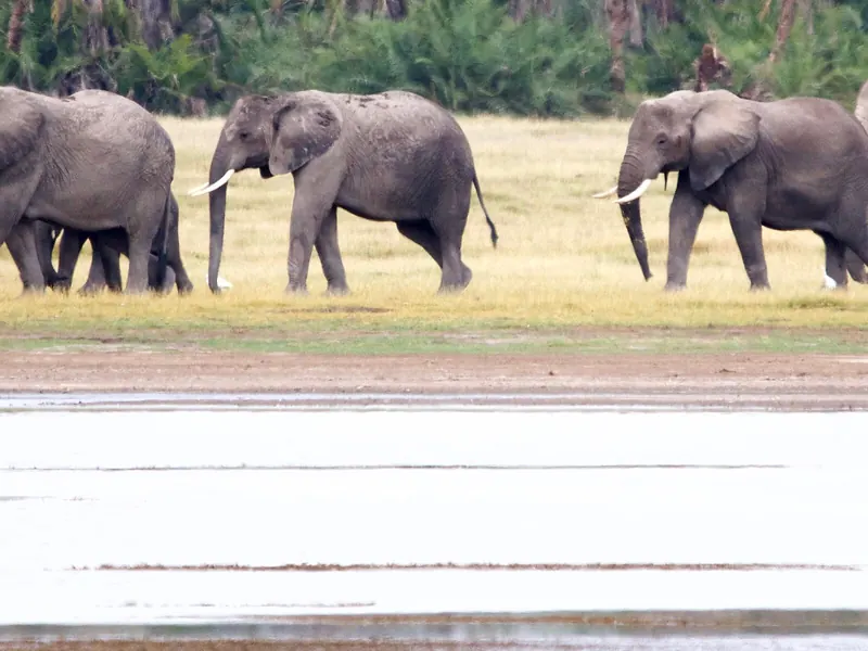
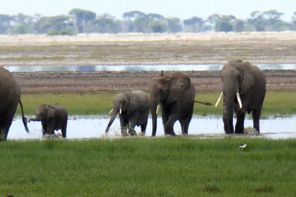
They are the reason the park holds so many animals. Springs associated with Kilimanjaro, which stands just across the border in Tanzania, bring water to the surface here in a semi-arid landscape. KWS describes Enkongo Narok and the other permanent swamps as critical to wildlife in the Amboseli ecosystem. Elephants wade in to feed on the sedges. Buffalo, hippos and waterbirds share the edges.
Enkongo Narok lies south of Observation Hill, so the hill gives you the best overview. Longinye lies east of Ol Tukai. Ol Tukai Orok is a smaller swamp ringed with doum palms. Swamp edges shift with the rains and floods can close some roads, so your guide chooses loops on the day. Our Amboseli elephants guide explains how the herds use these swamps through the year.
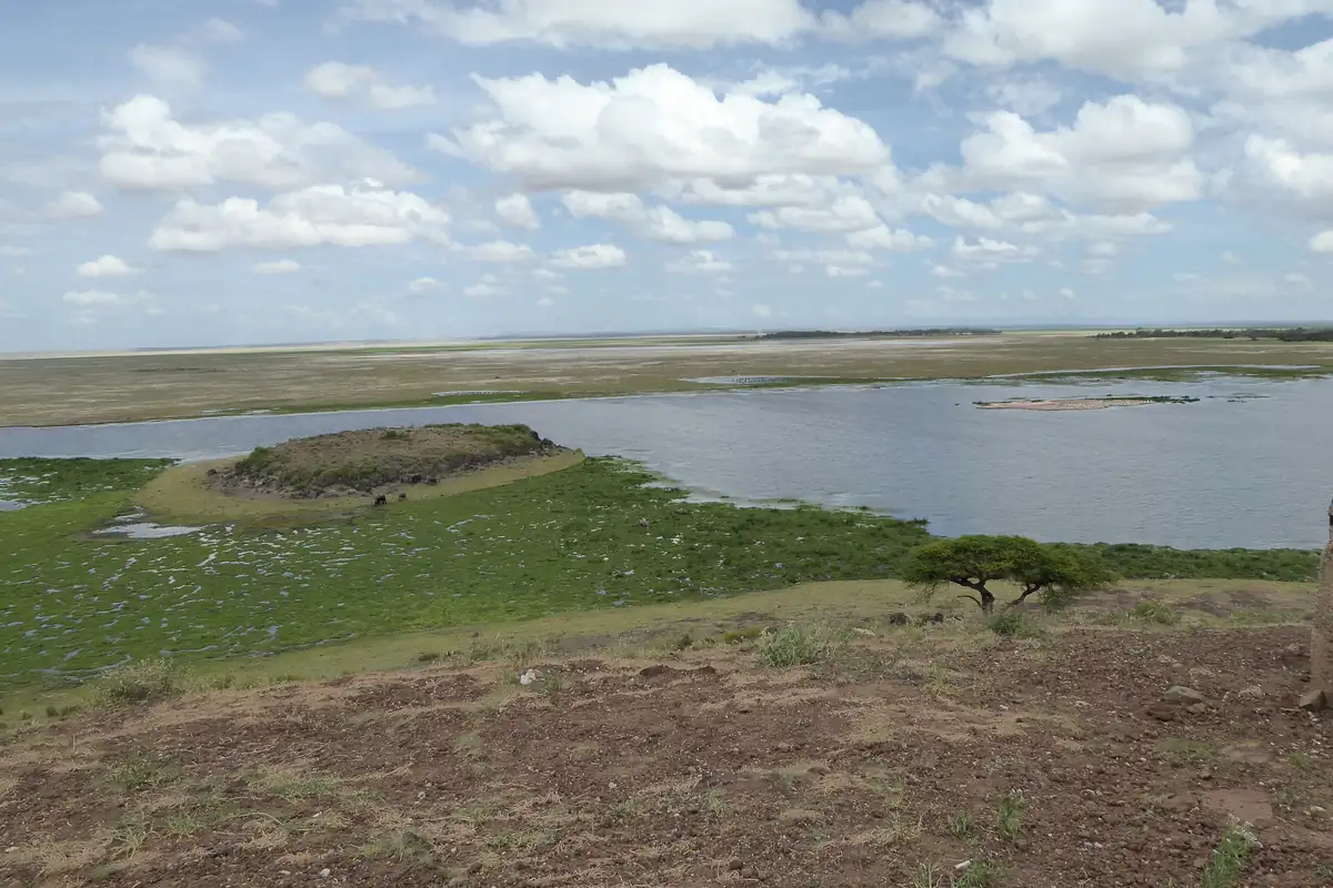
Lake Amboseli is a seasonal lake in a dried Pleistocene lake basin on the west side of the park. For most of the year it is a wide, dry, dusty flat. After heavy rain it can flood and sometimes draw flamingos and other waterbirds, never guaranteed, which is why KWS lists the lake basin as an attraction. In the dry season the flat is a wide open stage for landscape photographs, with Kilimanjaro rising behind it. It is part of the quieter western zone, so a drive across it feels very different from the crowded swamp circuits.
Observation Hill (Nomatior) stands west of Ol Tukai and overlooks Enkongo Narok. It is the highest point in the park and the one place where you may get out, walk and picnic. The KWS plan names three hills with panoramic views: Observation Hill, Ilmerishari and Kitirua, and from them you can take in the park, Kilimanjaro, the Chyulu Hills and the Namanga Hills. Lemomo Hill, in the Kitenden conservancy about 3 km from the park boundary, gives another high view of the ecosystem.
Ol Tukai is the heart of the park's woodland, with yellow fever trees and doum palms. The Maasai name Ol Tukai refers to the palms. It sits between the two big swamps and holds the park headquarters and several lodges. The Ol Tukai enclave in the centre is managed by the Kajiado County government, unlike the rest of the park, which KWS runs. Other camps sit just outside the boundary, such as those near Kimana Gate, in the Kimana area, on the Kitirua side to the west and in the foothills south of the park. Where you sleep decides which gate you use and how soon you reach the swamps at dawn.
Emali is the turn-off town on the Nairobi to Mombasa highway. Kimana is the trading town on the Emali to Loitokitok road. Namanga is the border town on the road to Arusha. Fuel is available in these towns and not inside the park, so your vehicle fills up before it enters.
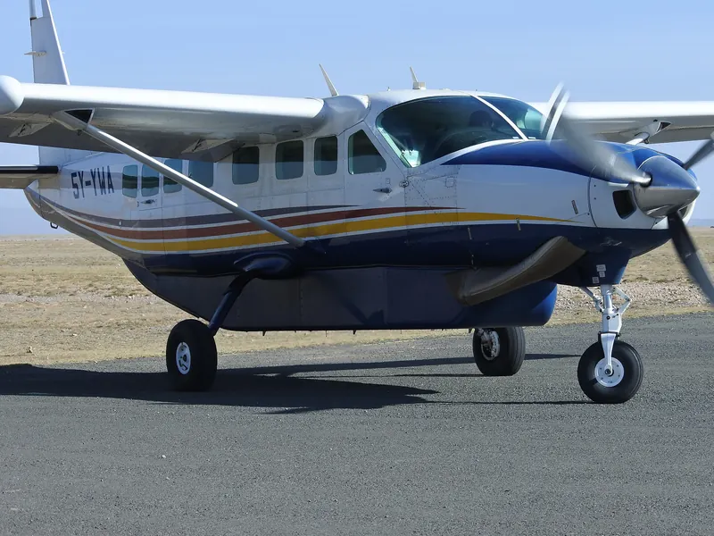
The Amboseli airstrip sits near the centre of the park and serves light aircraft from Wilson Airport in Nairobi. The flight takes about 40 to 50 minutes, which is why our Amboseli Fly-In Safari can start a game drive within the hour of landing. To the east, the Kimana link road runs toward Tsavo West National Park through the Chyulu Hills region. Our Amboseli and Tsavo West Safari uses it.
A printed or offline map is handy, but you will not need to navigate. Your driver-guide knows the tracks, the gate hours and which loops are open. Use the map to understand why the day is shaped the way it is.
| Time of day | Zone | Why |
|---|---|---|
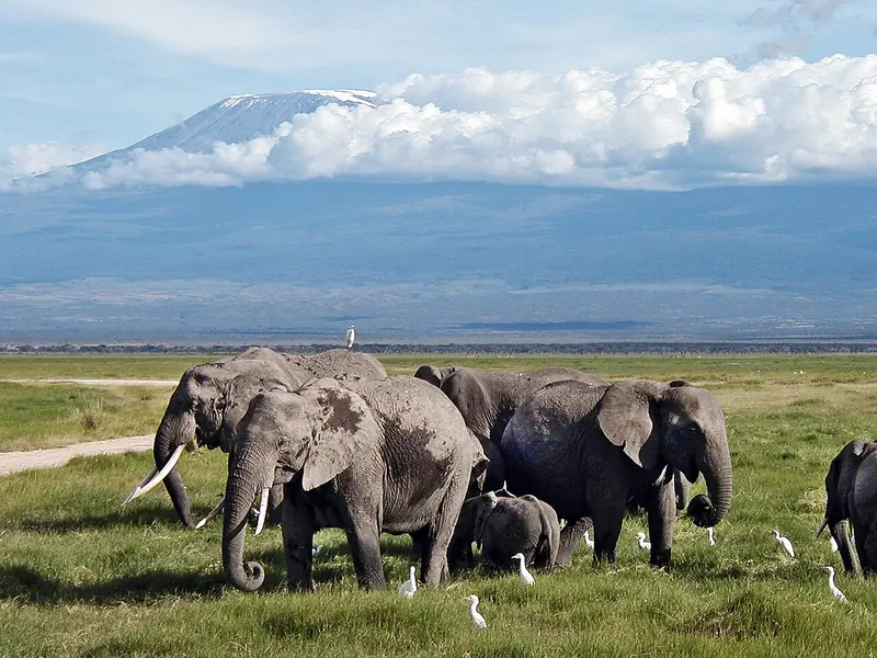
| Dawn | Swamp edges and open plains toward the mountain | Cool air, active animals and the best chance of a clear Kilimanjaro |
| Mid-morning | Observation Hill | Walk the hill before the lunchtime stops, with an overview of the swamps |
| Midday | Your lodge | Rest while the light is flat and the heat peaks |
| Late afternoon | Ol Tukai woodland and the swamps | Golden light, elephants coming in to drink and feed |
| A second dawn | Western plains and the lake basin | Fewer vehicles and wide landscape pictures |
A short visit sticks to the central zone. A longer one has time for the west. Our day trip from Nairobi covers the swamps, and our 3 Day Amboseli Safari gives you two dawns, so one can go west. Mobile signal can be patchy inside the park, so we suggest a saved offline map and your guide's lead. If you want to see the layout on the ground, the things to do guide shows how the zones fit into a day.
Safaris to consider
1 day
Elephants, swamps and Kilimanjaro in one long day from Nairobi, about 15 hours door to door.
3 days, 2 nights
A full day at the swamps and Observation Hill, with two dawns for Kilimanjaro.
3 days, 2 nights
Fly from Wilson Airport and start your game drive within the hour.
FAQ
Amboseli National Park has three public road gates, according to KWS: Iremito, Kimana and Meshanani. Iremito is reached from Emali, Kimana from Kimana town and Meshanani from Namanga.
Iremito Gate is the Amboseli gate most visitors use from Nairobi, 204 km via Emali, against 220 km to Meshanani Gate via Namanga (KWS figures). Both take roughly 4 to 5 hours.
Observation Hill stands west of Ol Tukai and overlooks the Enkongo Narok swamp. It is the highest point in Amboseli and the only place visitors may leave their vehicle.
Amboseli National Park has no fuel for visitors, so vehicles fill up in towns such as Emali, Kimana or Namanga before entering.
Lake Amboseli lies on the western side of Amboseli National Park. It is a seasonal lake in a dried lake basin, usually dry and dusty and flooded only after heavy rain.
Send us a WhatsApp message or an email with your dates and group size. We reply with a clear plan and price.